Our 5
For anyone following along, it's going to be important to see the plot of land on the high bluff where the cottage will be built.
It's 785' from east to west, and 355' from north-ish to south-ish, for a grand total of 5.05 acres.
The lot is on the Niagara escarpment, which runs from about Fond du Lac, WI to, you guessed it, Niagara Falls, NY.
Below is a parcel map from the Door County site, with 2-foot elevations. The highest point on our lot is 798' above sea level, and the lowest is 644', for a 154' vertical drop. Niagara Falls' vertical drop is 160'. All we're really lacking is the Niagara River.
(I can't mention vertical drop without dropping a long-range property goal: Door County's only ⛷️ run. It's a blue-black with a big steep at the end, where the red lines are really close together.)
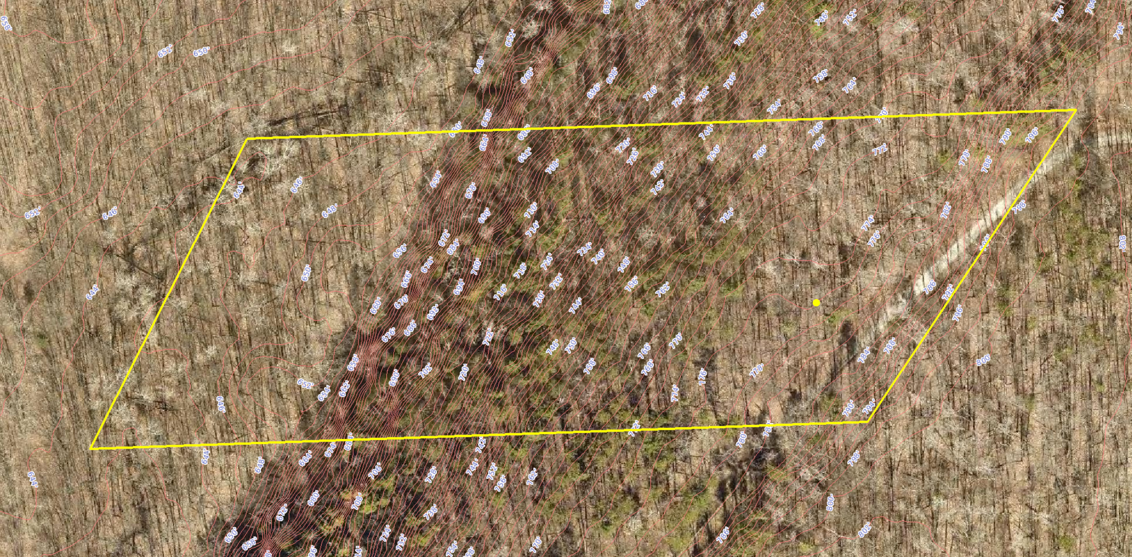
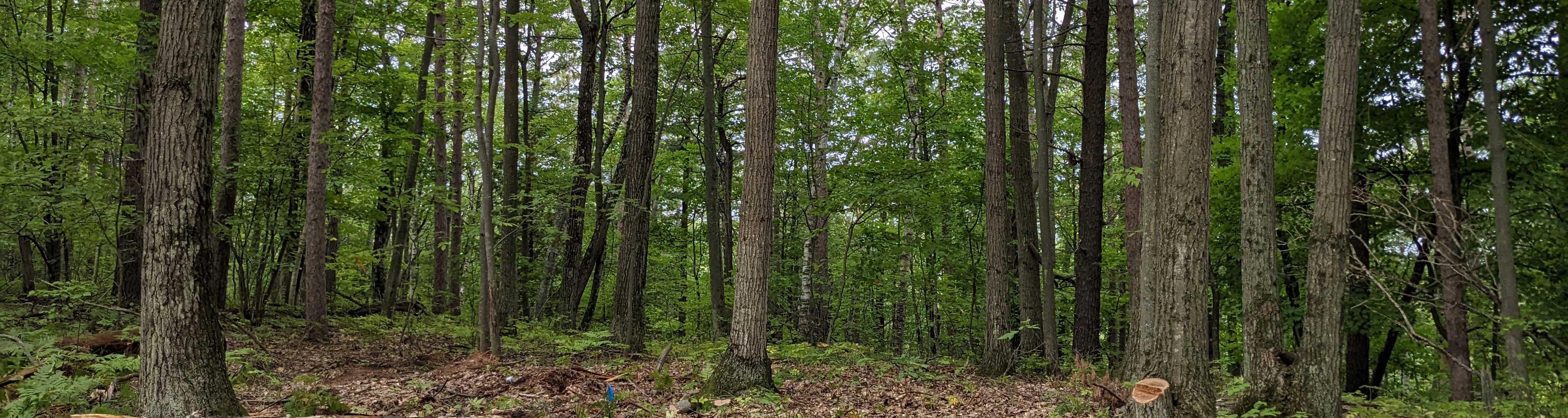
As you can probably tell from the image, the best buildable area is in the southeast corner of the lot. That's the spot where the header picture will repeatedly be taken from, aiming straight west. Right now it's just trees, but at some point in the next few months a pretty killer view of Green Bay will be revealed. Stay tuned.