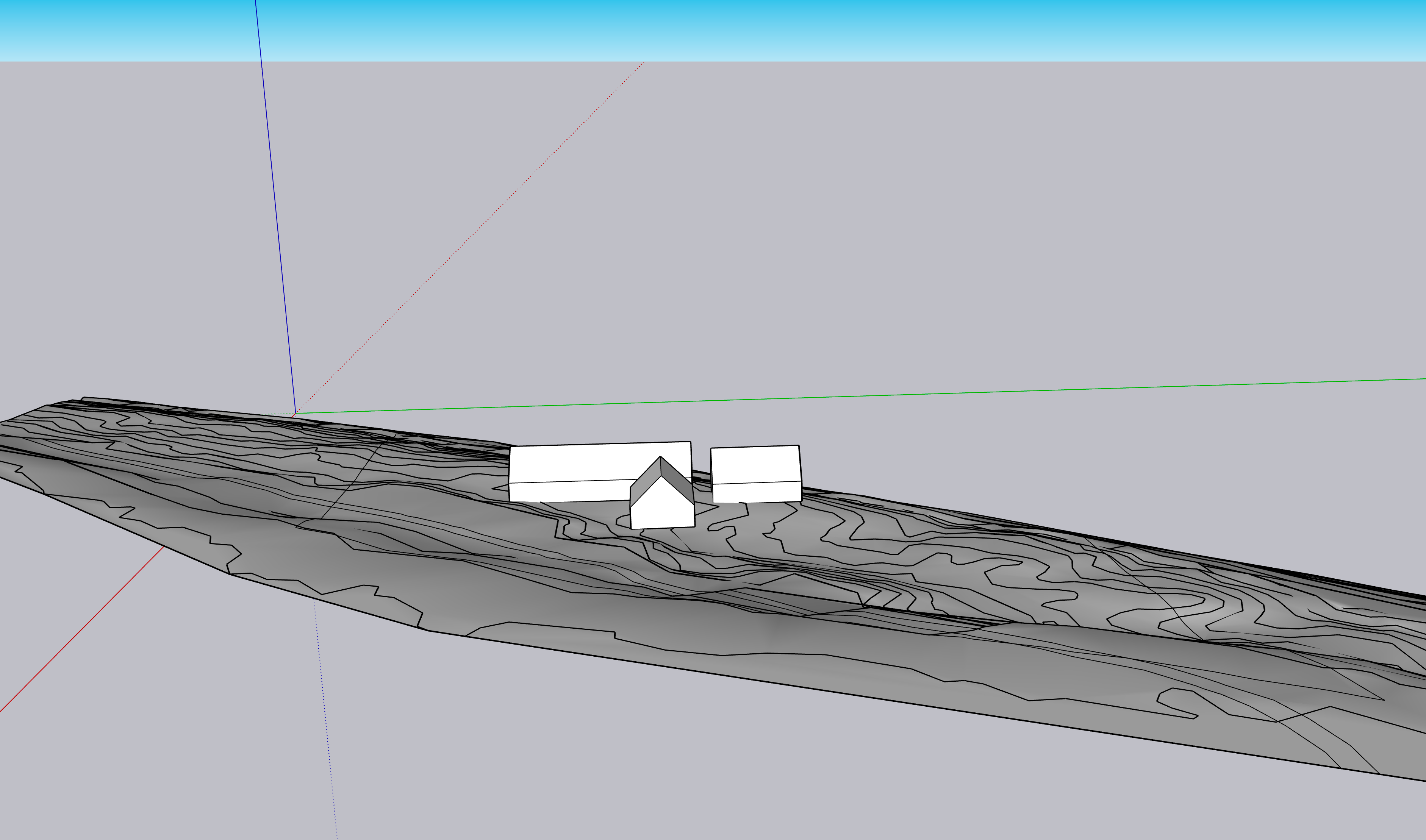
First Look: Topographic With Volumes
Here's the first look at the parcel, with the property lines and dead-end road draped on the topographic, and the three volumes placed about where I think they'll go.
The first build, which we are trying to get started in summer 2023, is the 36'x24' structure on the far left of the image (the northernmost volume). This is an "expandable house plan," where we will add on the larger 72'x24' house and the 30'x24' garage later, and everything will be connected via conditioned breezeways.
We just need to get a place up there ASAP, and a MVC — Minimum Viable Cottage — is the fastest, most direct route. Plus, we'll (hopefully) make all of our biggest mistakes on a very small house.
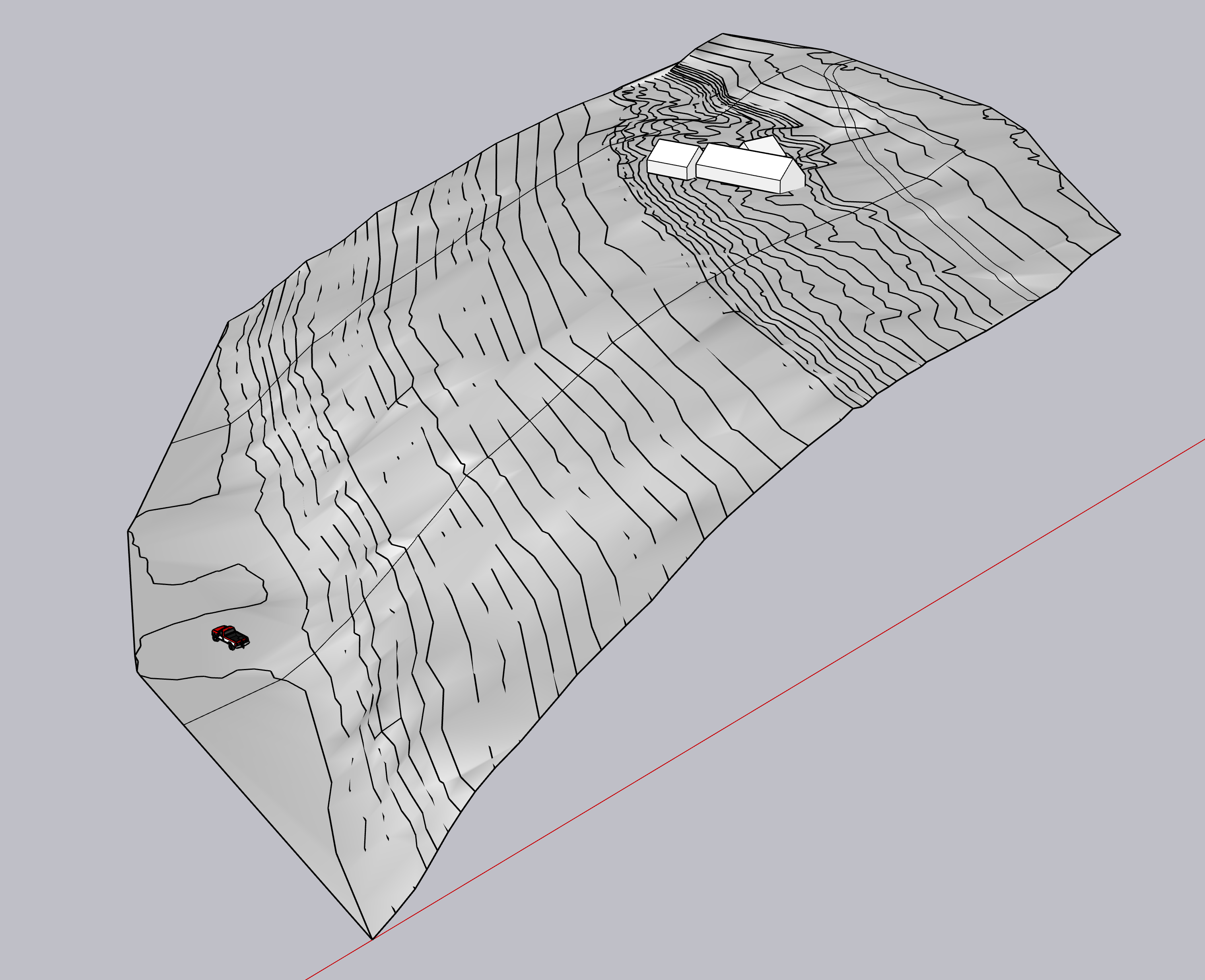
In order to make this drawing, I had to painstakingly trace elevation lines from the Door County map, elevate each of them, and then in SketchUp choose Draw > Sandbox > From Contours. Then I placed the three volumes.
It took hours but was totally worth it. Having spent a fair amount of time on the parcel, the satellite elevations are incredibly accurate. I completely trust that what's on this drawing is what's in real life.
Please note the vintage Ford pickup that's in my future.
Also please note, this plot not only provides a pretty awesome view of Green Bay, but a challenging ⛷️ run as well.
Here is another view of the drawing, with the view. This is aiming due west, and the SketchUp horizon (the blue part) is the bay.